|
PHOTOS OF BOLIVIA - Don't forget to sign the guestbook!!!!! No se olviden de escribir en el libro de huesped (guestbook) !!!!!
Bolivia has an array of landscapes from moon-like deserts to the colorful windswept plains that
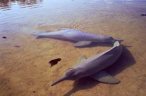
look like Salvador Dali painted himself in the Western Highlands - to Amazonian jungles, rare pink river dolphins and world
renowned National Parks such as the Pantanal near Brazil's border and Madidi in the Bolivian Amazon.
The desolation, vastness and vividness of Bolivia's southern Altiplano has come to be nicknamed Salvador
Dali's Desert by many international tourists.
The high altitude gives you a sense of being closer to the sky as clouds race by and the blue atmosphere
is unpolluted giving you some of the clearest skies in the world.
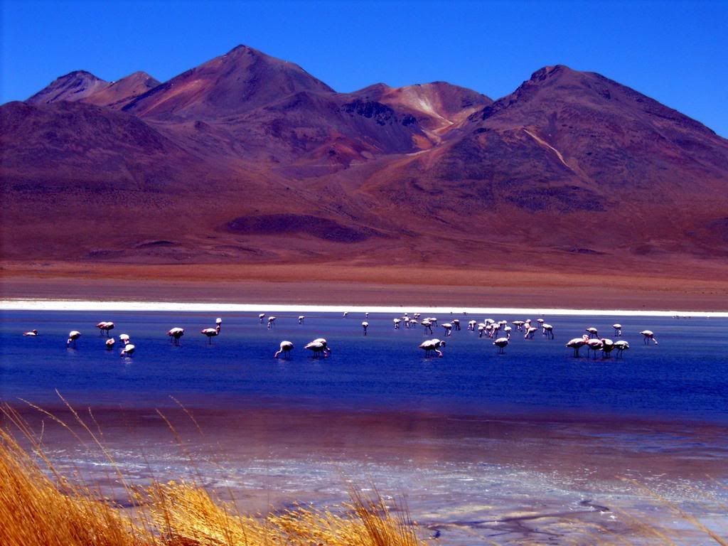
Southwest Bolivia is dotted with breath-taking lakes and lagoons colored from ice green to
deep reds.
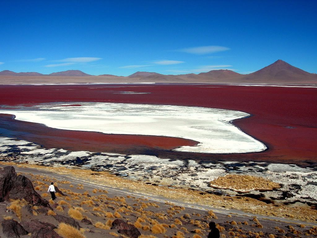
The inspring Laguna Colorado (Colored Lake).
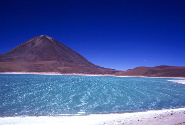
Above: The Laguna Verde (Green Lagoon) with Volcan Licancabur as a backdrop.
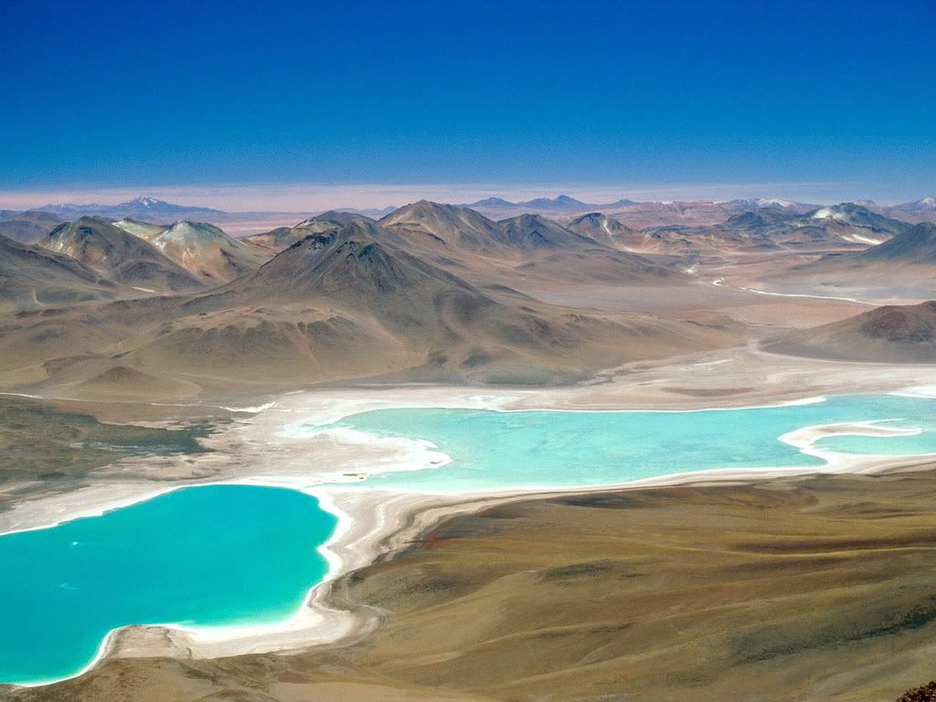
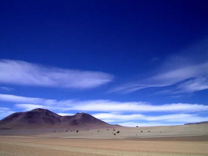
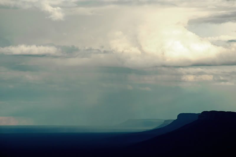
A panoramic view of Southwest Bolivia.
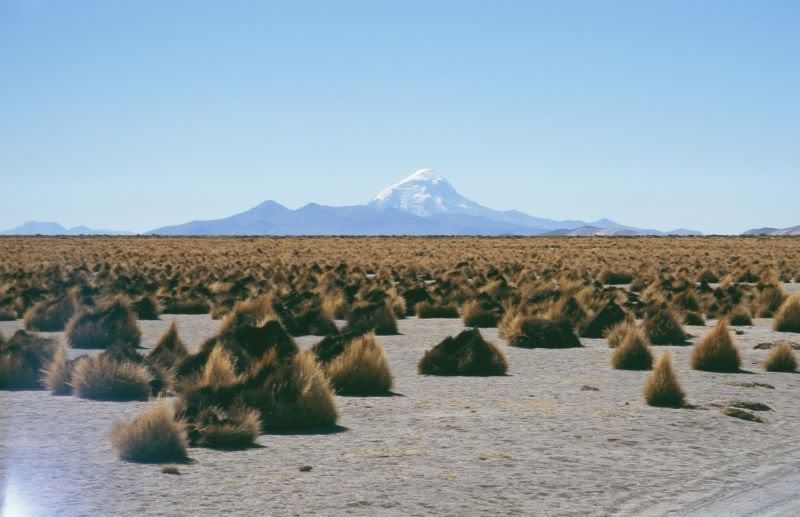
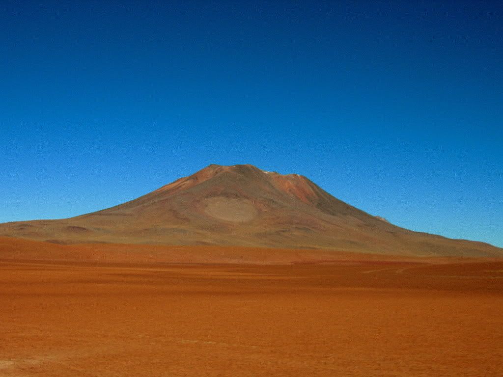
Above you see Nevada Sajama (Mount Sajama) which is Bolivia's highest peak as seen from the altiplano in
the Oruro Department.
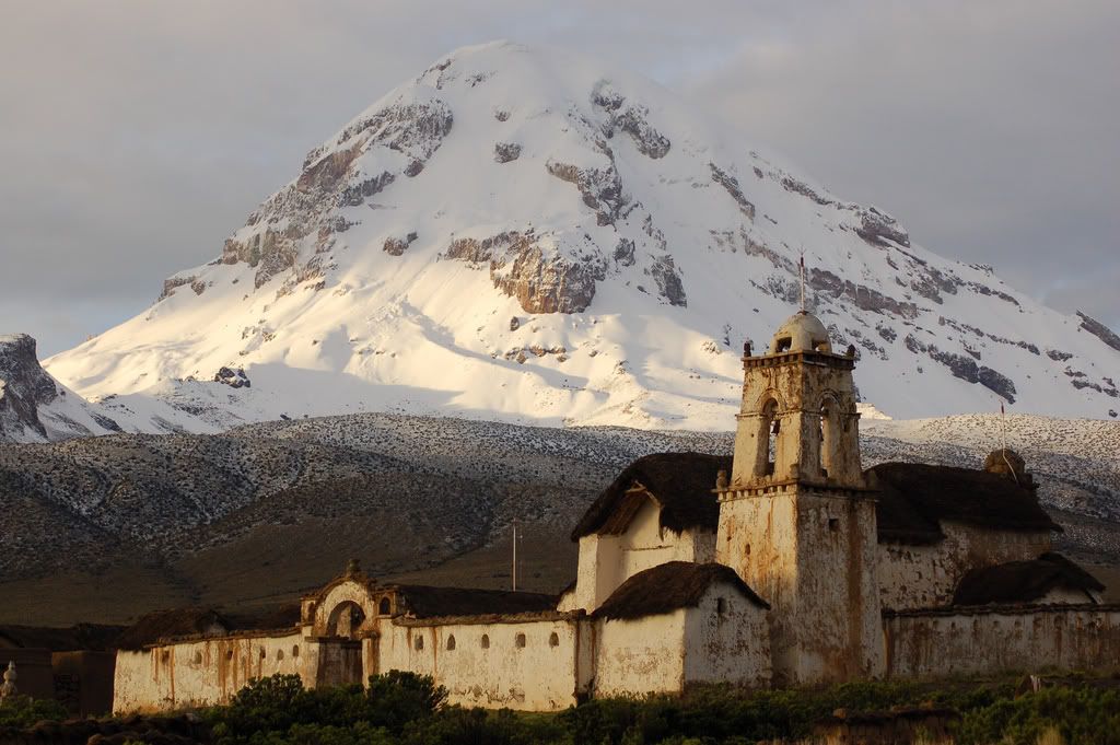
Mount Sajama serving as a backdrop to an abandoned desolate church in the Altiplano.
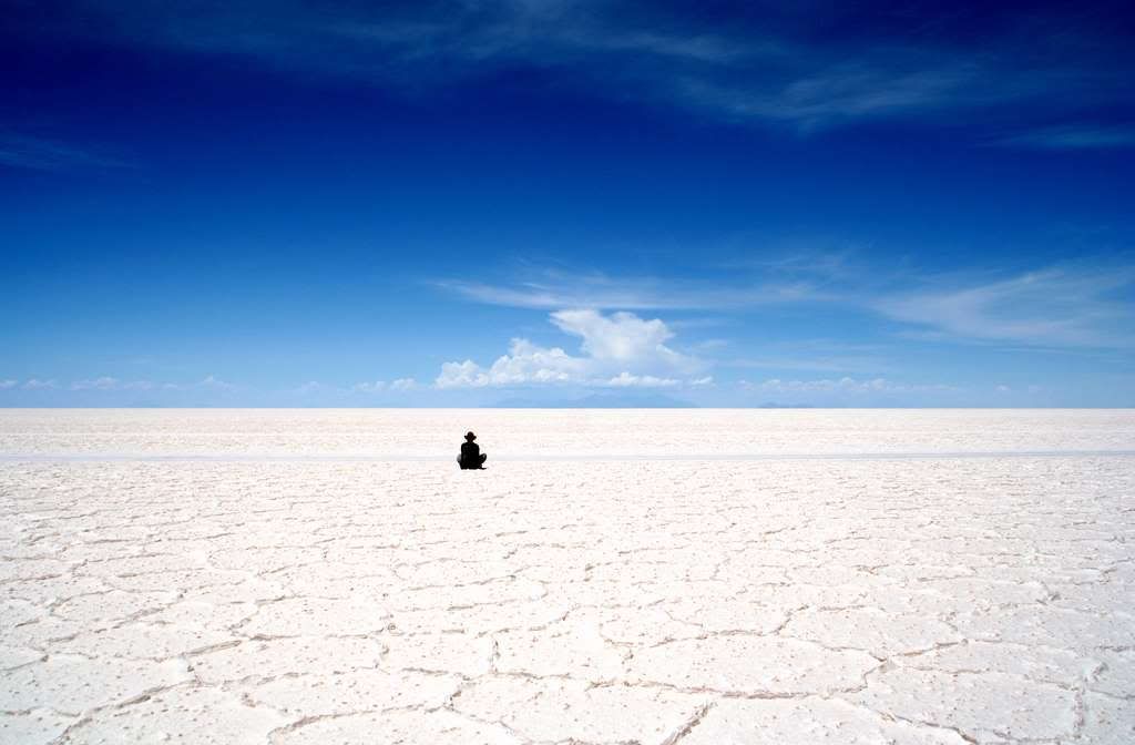
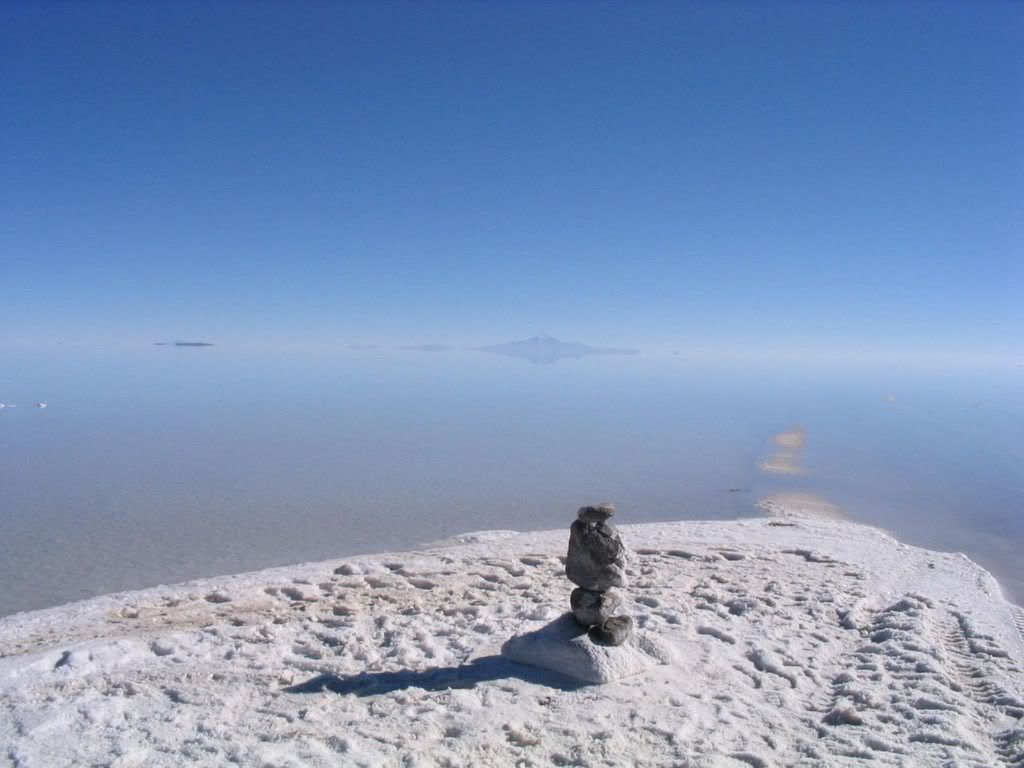
The awe inspring Salar de Uyuni has been named by the Times UK as one of the Wonders of the World. The vastness
and starkness of the area are inspiring many international visitors to make a daring trip to the cold and desolate treasure.
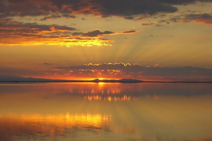
Sunrise over the Salar de Uyuni's horizon.
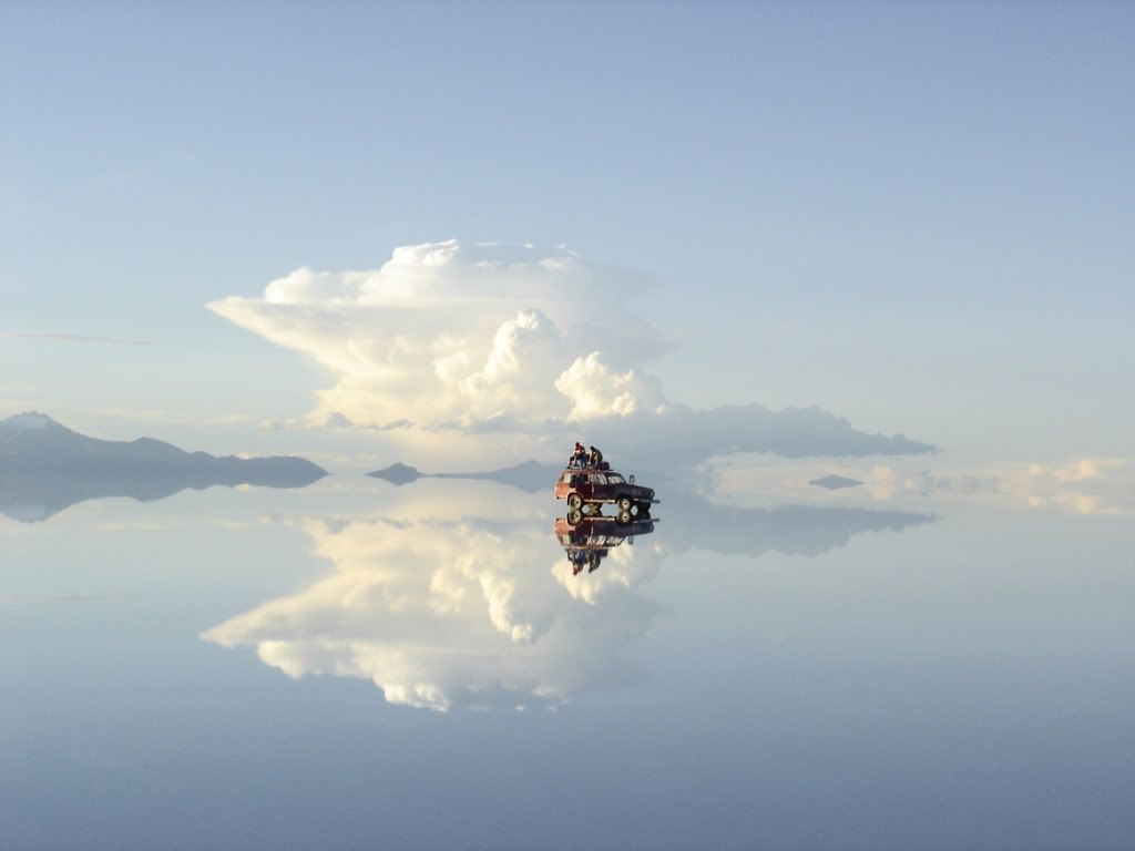
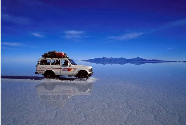
Often times during the rainy season the Salar is flooded with a couple centimeters of water - causing the
entire desert to turn into a mirror.
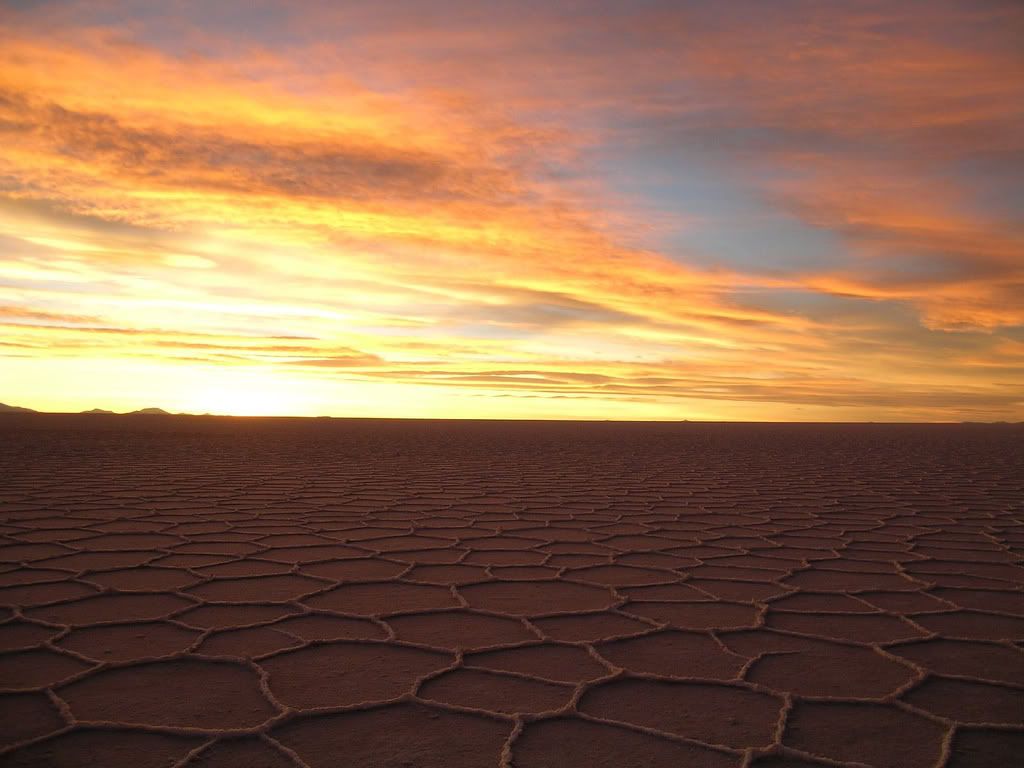
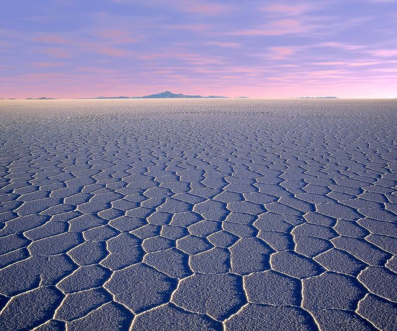
When the Salar is dry, natural forming honey-comb like patterns emerge on the salt plain...very bizarre.
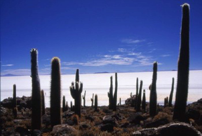
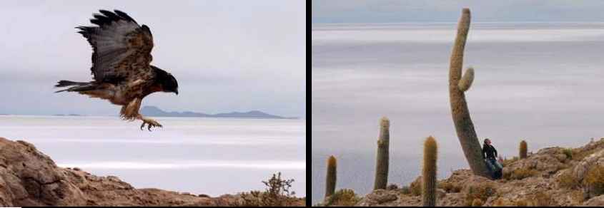
The mystical Isla de Pescadores in the middle of the Salar de Uyuni.
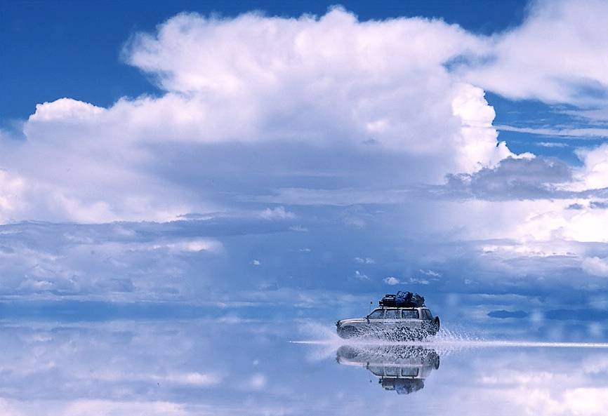
The Salar de Uyuni when it's flooded. It becomes a 5000 ++ square mile mirror... :) From http://www.fotocommunity.de/pc/pc/display/1067939
The mighty Volcan Tunupa is an imposing active volcano that flanks the Salar to the north.
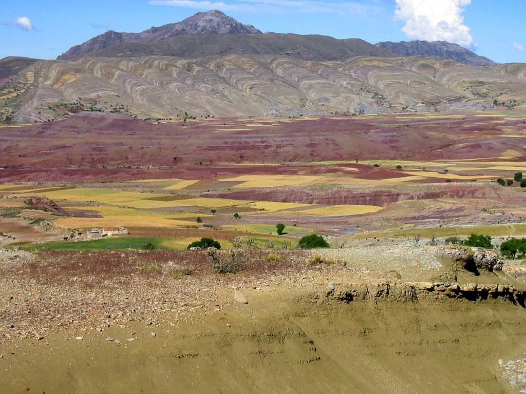
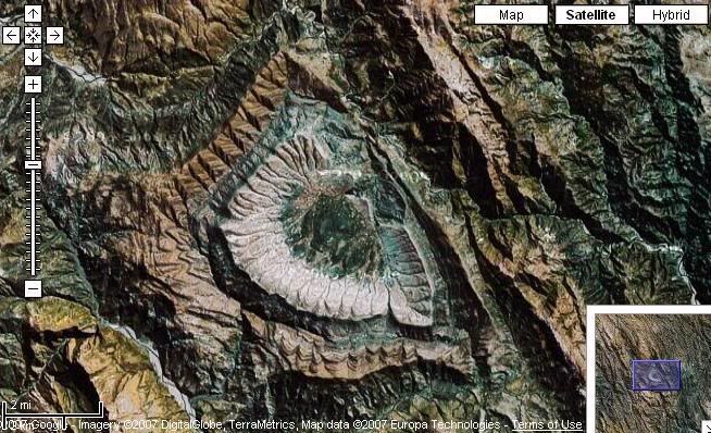
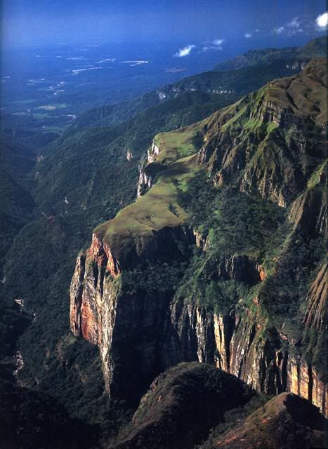
The crater at Maragua, Sucre. This huge natural ampitheatre looks even more bizarre from outer space. See
the google-earth image as seen from miles high.
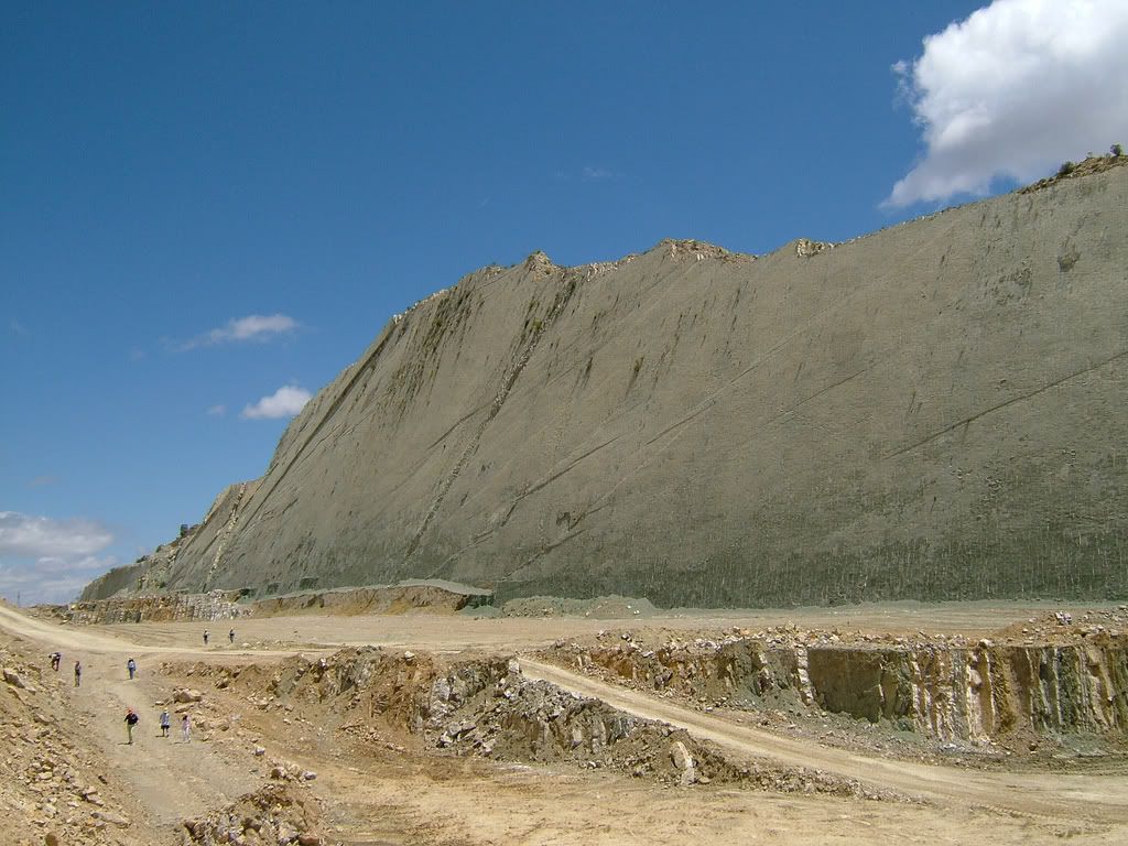
The Valley of the Dinosaurs is named so because of the many footprints found. Brachiosaurus and Tyranosaurus
prints are viewable in this recent find in the Chuquisaca Department. It is not far from Sucre - the historical capital of
Bolivia.
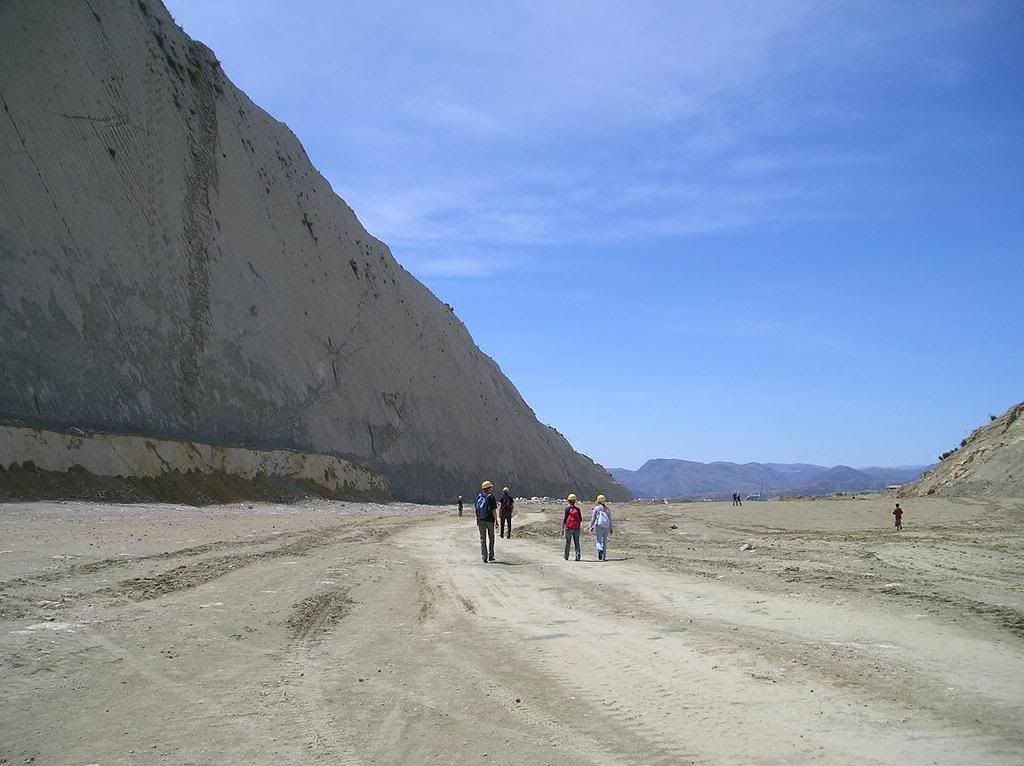
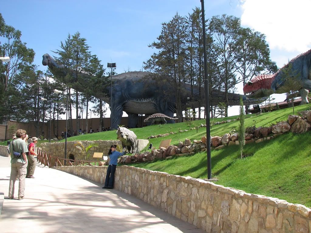
Only recently has the government been able to build a visitors area for the Dinosaur Valley.
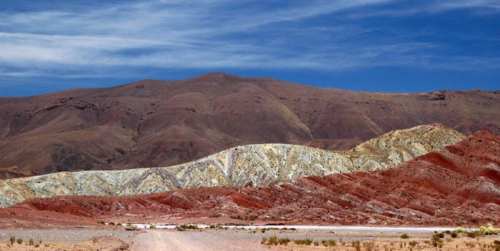
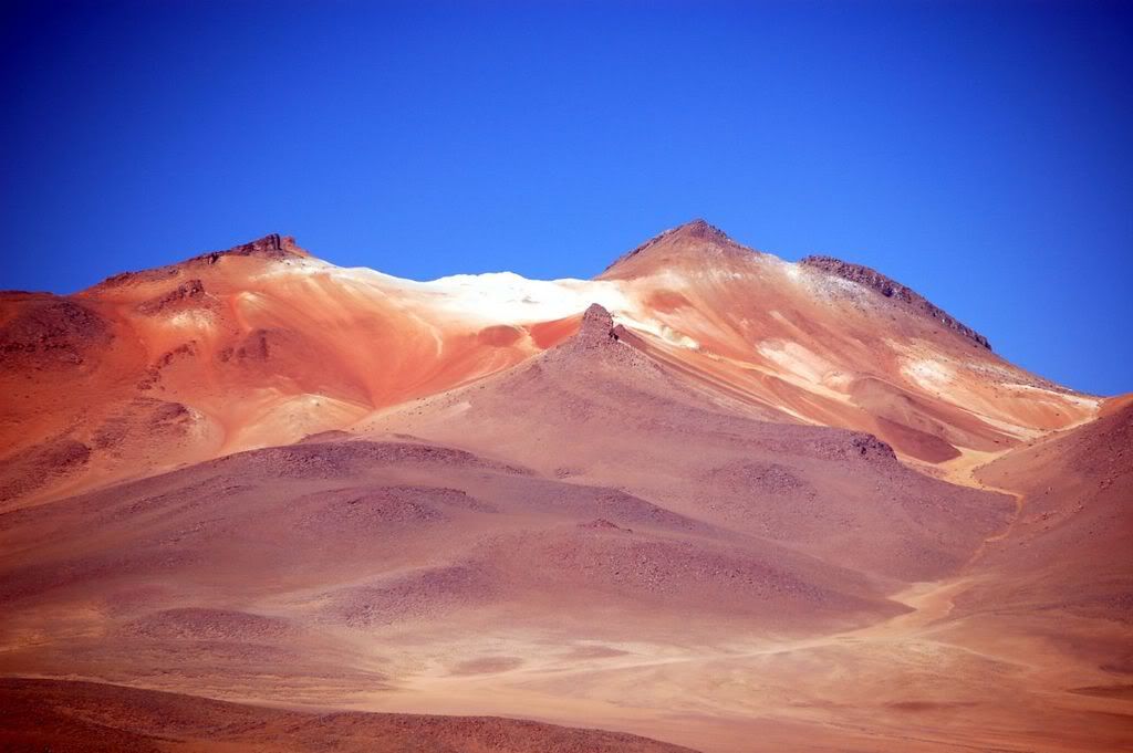
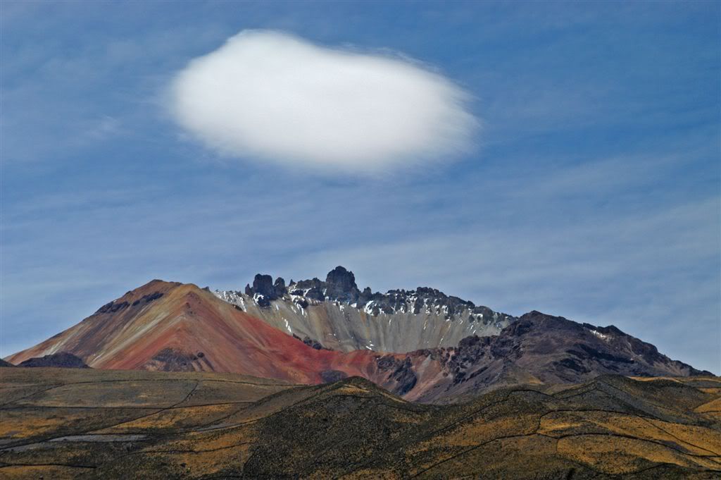
Those are the actual colors of the mountains! Andean foothills near Chuquisaca (Sucre) Bolivia.
Photo of Sorata, Bolivia. This sleepy town is base camp for hikers going to climb Mt. Illampu.
Countryside of Sorata, Bolivia.

The world's most dangerous road from La Paz to the Yungas Valley. Yes that is a bus beneath the waterfall! Sadly every year
dozens of people die when the buses fall off these cliffs. The problem is that there is no other way for people to get from
the highlands to the valleys in northern La Paz.
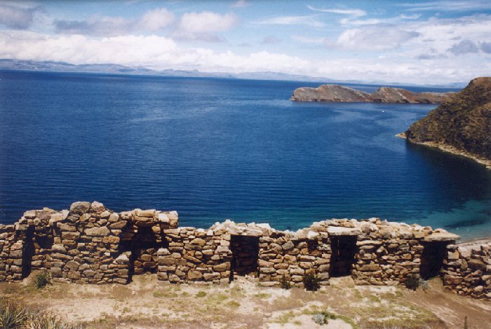
Ancient Inca ruins on the Island of the Sun on Lake Titicaca.
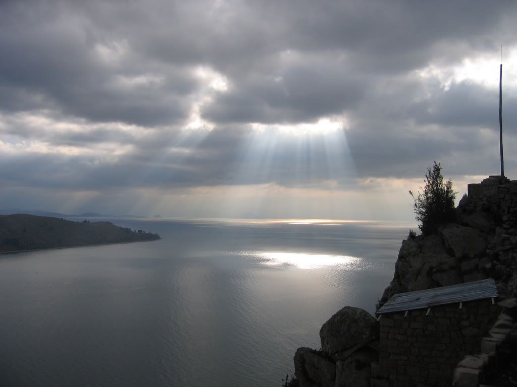
The Island of the Sun in the Bolivian half of Lake Titicaca is considered the birthplace of the Incan civilization.
Ironically, a sunken temple has been found at the deep depths of the lake which predate the Incas. Most archaeologists speculate
the sunken temple and roads belonged to the mysterious Tiwanaku culture of a millenia earlier.
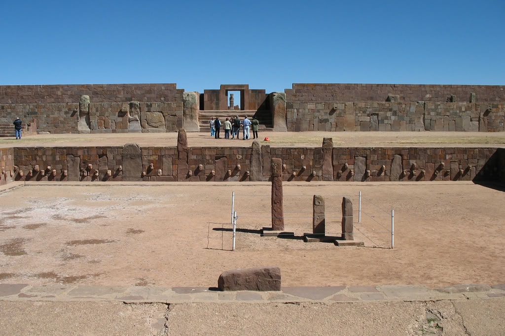
The ruins of Tiwanaku - a mysterious pre Incan civilation located in Bolivia. It has been speculated that
this city dates to over 7,000 years old because the temple is aligned with the solctice as it would have been during the last
Ice Age. Also, there are arguable carvings of mastodons (elephants) in some of the artifacts which were alive in South
America only during the last Ice Age. Only 10% of the area at Tiwanaku has been excavated.
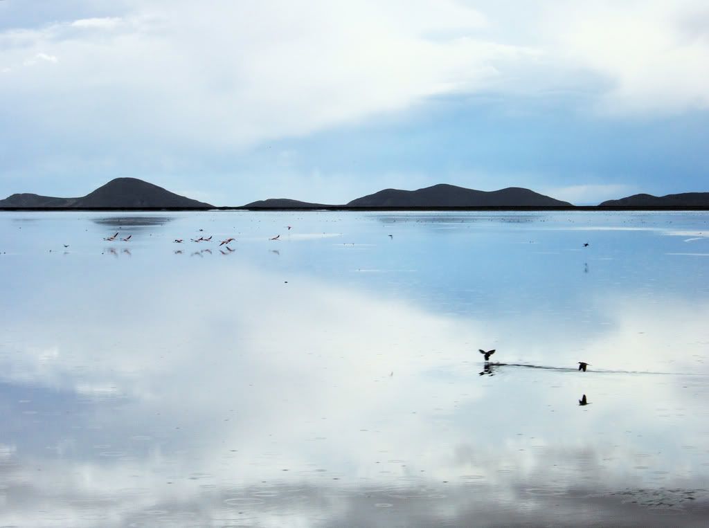
Lake Poopo - halfway between Lake Titicaca and the Salar de Uyuni. The southwest corner of the lake is wear
the fabled city of Atlantis was located according to a few archaeologists. See the google video from the Discovery Channel below
if you want more info on the contraversial issue.
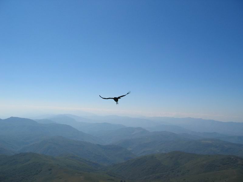
A majestic Andean Condor over the Andean
foothills near Samaipata, Santa Cruz, Bolivia.
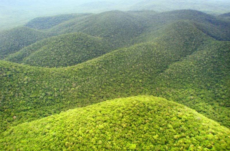
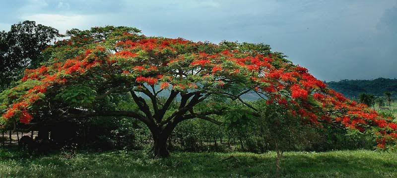
Eastern Bolivia:
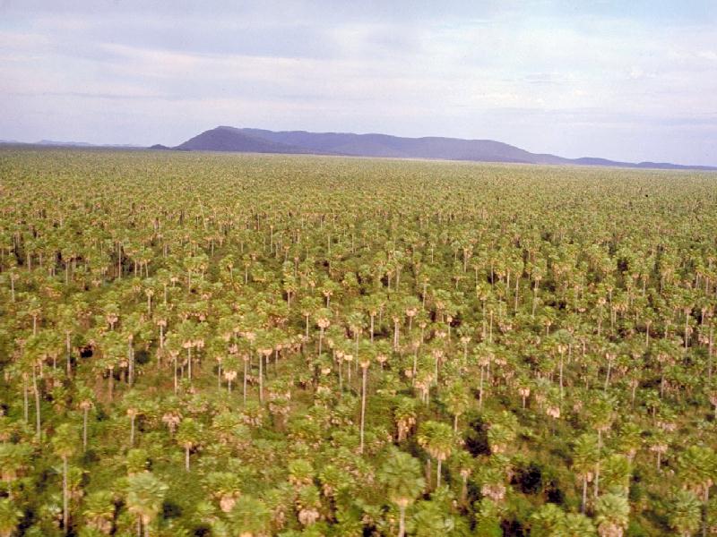
Palm tree forests in the northeast Beni
Department. Courtesy of bolivianbeauty.com.
The Mamore River nearby Trinidad is the longest
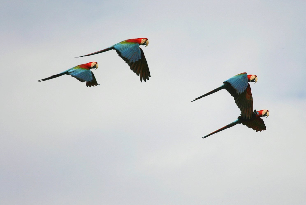
tributary of the Amazon River. There are eco riverboat tours where you can experience parrot & macaw flocks,
pink river dolphins, piranhas, vultures, monkeys and caymans among others.

View My Guestbook
Sign My Guestbook
|